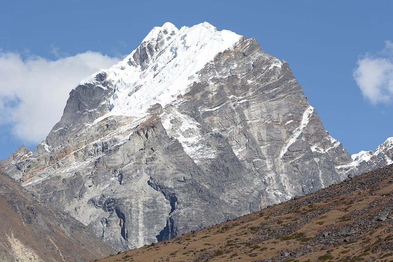
Mahalangur Himal, Koshi Province
Lobuche
6,145 m20,161 ft27.959°N 86.790°E
Field notes in progress. This page shows only structured records (elevation, location, range) from cited sources. The story and facts haven't been written and checked yet.
At a glance
- Elevation
- 6,145 m · 20,161 ft[1]
- Prominence
- 275 m[1]
- Range
- Mahalangur Himal[2]
- Region
- Solukhumbu District, Koshi Province[2]
- Coordinates
- 27.9595° N, 86.7899° E[1]
Elevation is height above sea level; prominence is how far it rises above the lowest col connecting it to higher ground.
Where it lives
Summit coordinates from Wikidata.
Look closer
If you want to visit
We haven't yet recorded a sourced viewpoint for this peak.
Permits, fees and access rules change. Check current requirements with the Nepal Tourism Board before you travel. We don't list routes or logistics we can't keep current.
Sources & further reading
2 sources
- [1]Wikidata item Q1291226, Wikidata, retrieved 2026-10-23 · accessed 2026-10-23
- [2]Lobuche, Wikipedia · accessed 2026-10-23
Structured values (elevation, coordinates, prominence) come from Wikidata, which aggregates survey sources. Wikipedia articles are used as secondary references; we prefer primary survey and expedition records as we add them. Last verified 2026-10-23.