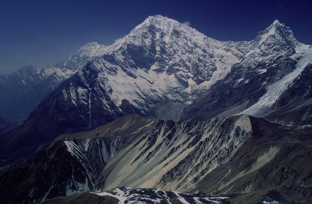
Langtang Himal, Bagmati Province
Langtang Lirung
also लाङटाङ लिरुङ · Lāṅtāṅ Liruṅ
7,227 m23,711 ft28.256°N 85.519°E
At a glance
- Elevation
- 7,227 m · 23,711 ft[1]
- Prominence
- 1,525 m[1]
- Range
- Langtang Himal[1]
- Region
- Rasuwa District, Bagmati Province[2]
- Coordinates
- 28.2561° N, 85.5194° E[1]
- Nearby
- Langtang[2]
- First ascent
- 24 October 1978, Seishi Wada & Pemba Tsering Sherpa[2]
Elevation is height above sea level; prominence is how far it rises above the lowest col connecting it to higher ground.
The mountain's story
Langtang Lirung, 7,227 metres, is the highest peak of the Langtang Himal, a subrange of the Nepalese Himalaya southwest of Shishapangma. It is one of the peaks visible from Dhulikhel on the eastern rim of the Kathmandu Valley. Seishi Wada and Pemba Tsering Sherpa of a Japanese expedition made the first ascent by the East Ridge on 24 October 1978.[3][2]
The mountain is also bound up with one of the hardest days in modern Nepal. On 25 April 2015, the magnitude 7.8 earthquake triggered a glacier collapse on its southwest-facing slope; the ice and debris slide that followed destroyed Langtang village, and avalanches in the valley killed almost 400 people.[2]
Little things worth knowing
- 1
2015
An earthquake-induced glacier collapse on its slope destroyed Langtang village on 25 April 2015.[2]
- 2
East face
Marek Holeček and Ondrej Húserka made the first ascent of the east face on 30 October 2024.[2]
- 3
Rarely climbed
The Himalayan Index lists only around fourteen ascents between 1978 and 1995.[2]
Rivers from this mountain
Water that begins in its snow and ice, or drains the range around it.
Where it lives
Summit coordinates from Wikidata; hollow dots are viewpoints from which this peak is documented as visible.
Look closer
If you want to visit
Places from which Langtang Lirung is documented as visible:
- Dhulikhel[3]
Permits, fees and access rules change. Check current requirements with the Nepal Tourism Board before you travel. We don't list routes or logistics we can't keep current.
Sources & further reading
4 sources
- [1]Wikidata item Q1551402, Wikidata, retrieved 2026-10-23 · accessed 2026-10-23
- [2]Langtang Lirung, Wikipedia · accessed 2026-10-23
- [3]Dhulikhel, Wikipedia · accessed 2026-10-23
- [4]Trishuli River, Wikipedia · accessed 2026-10-23
Structured values (elevation, coordinates, prominence) come from Wikidata, which aggregates survey sources. Wikipedia articles are used as secondary references; we prefer primary survey and expedition records as we add them. Last verified 2026-10-23.