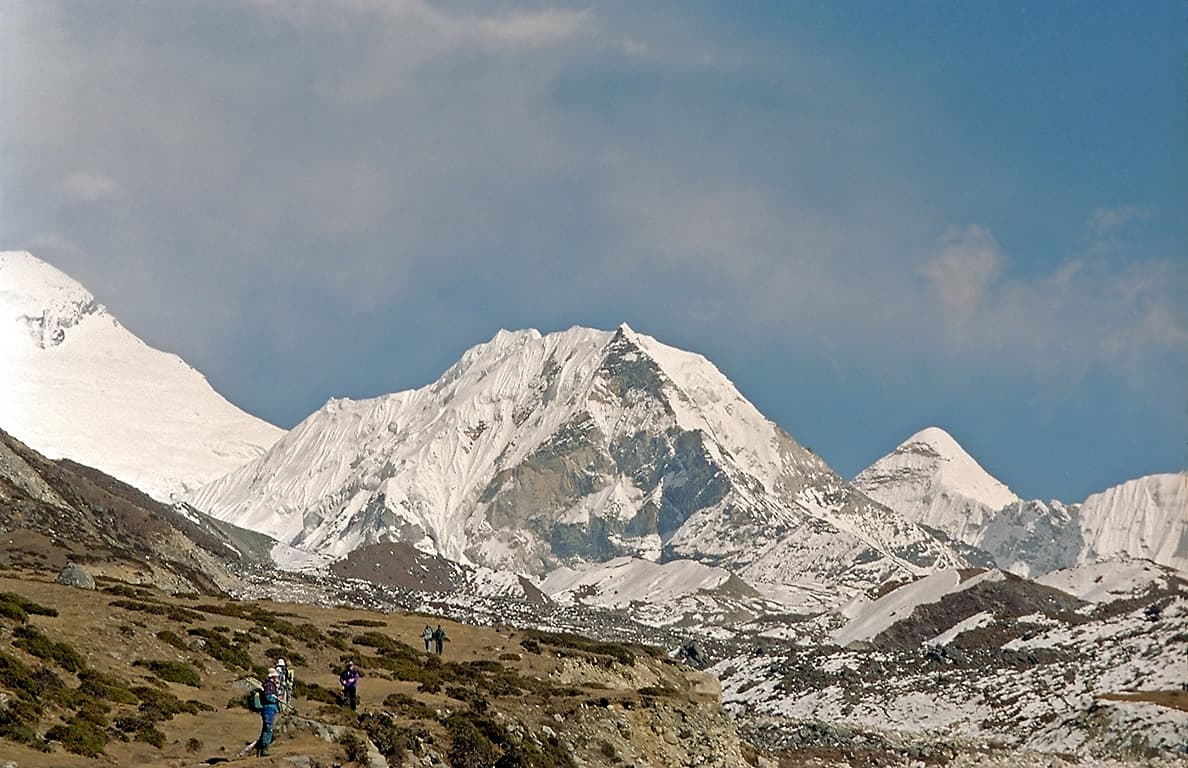
Mahalangur Himal, Koshi Province
Island Peak
also इम्जा छे · Island Peak
6,189 m20,305 ft27.917°N 86.933°E
At a glance
- Elevation
- 6,189 m · 20,305 ft[1]
- Prominence
- 475 m[1]
- Range
- Mahalangur Himal[2]
- Region
- Solukhumbu District, Koshi Province[2]
- Coordinates
- 27.9167° N, 86.9333° E[1]
- First ascent (main)
- 1956, Hans-Rudolf von Gunten and two Sherpas of a Swiss team[2]
Elevation is height above sea level; prominence is how far it rises above the lowest col connecting it to higher ground.
The mountain's story
Island Peak, officially renamed Imja Tse in 1983, rises to 6,189 metres in Sagarmatha National Park. Members of the 1953 British Everest expedition gave it the English name because, seen from Dingboche, it looks like an island in a sea of ice. It is really an extension of the ridge running down from the south end of Lhotse Shar.[2][1]
That same 1953 expedition used it for training: Tenzing Norgay, Charles Evans, Alfred Gregory, Charles Wylie and seven other Sherpas climbed its southwest summit. The main summit was first reached in 1956 by Hans-Rudolf von Gunten and two Sherpas from the Swiss team that went on to make the first ascent of Lhotse.[2]
Little things worth knowing
Where it lives
Summit coordinates from Wikidata.
Look closer
If you want to visit
We haven't yet recorded a sourced viewpoint for this peak.
Permits, fees and access rules change. Check current requirements with the Nepal Tourism Board before you travel. We don't list routes or logistics we can't keep current.
Sources & further reading
2 sources
- [1]Wikidata item Q619781, Wikidata, retrieved 2026-10-23 · accessed 2026-10-23
- [2]Island Peak, Wikipedia · accessed 2026-10-23
Structured values (elevation, coordinates, prominence) come from Wikidata, which aggregates survey sources. Wikipedia articles are used as secondary references; we prefer primary survey and expedition records as we add them. Last verified 2026-10-23.