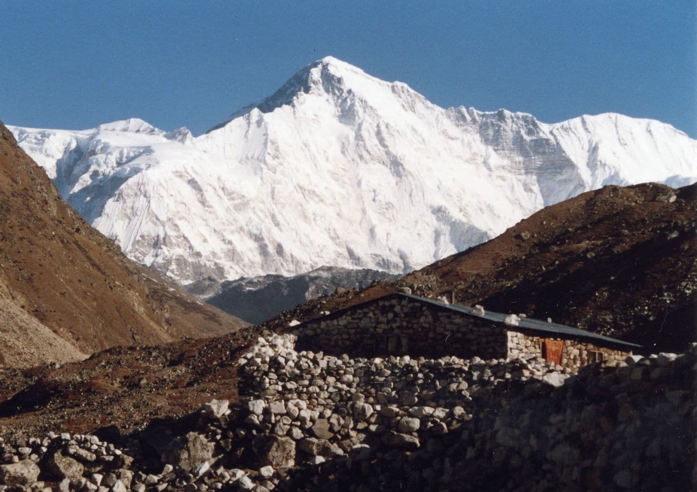
Mahalangur Himal, Koshi Province
Cho Oyu
also चोयु हिमाल
8,188 m26,864 ft28.094°N 86.661°E
At a glance
- Elevation
- 8,188 m · 26,864 ft[1]
- Prominence
- 2,344 m[1]
- Range
- Mahalangur Himal[1]
- Region
- Solukhumbu District, Koshi Province[2]
- Coordinates
- 28.0942° N, 86.6608° E[1]
- First ascent
- 19 October 1954, Tichy, Jöchler & Pasang Dawa Lama[2]
Elevation is height above sea level; prominence is how far it rises above the lowest col connecting it to higher ground.
The mountain's story
Cho Oyu, whose Tibetan name means 'Turquoise Goddess', is the sixth-highest mountain in the world at 8,188 metres. It is the westernmost major peak of the Khumbu section of the Mahalangur Himal, about 20 kilometres west of Everest on the border between Tibet and Nepal's Koshi Province.[2]
Just west of it lies the Nangpa La, a glaciated pass at 5,716 metres that has long served as the main trading route between Tibetans and the Sherpas of the Khumbu. That proximity, together with moderate slopes on the northwest ridge, has made Cho Oyu known as the most approachable of the 8,000-metre peaks. Herbert Tichy, Joseph Jöchler and Pasang Dawa Lama of an Austrian expedition made the first ascent on 19 October 1954.[2]
Little things worth knowing
- 1
Trade pass
The Nangpa La, a few kilometres west, separates the Khumbu and Rolwaling Himalaya and is a historic Tibet–Khumbu trade route.[2]
- 2
Fifth climbed
Cho Oyu was the fifth eight-thousander to be climbed, after Annapurna, Everest, Nanga Parbat and K2.[2]
- 3
Winter first
Maciej Berbeka and Maciej Pawlikowski made the first winter ascent on 12 February 1985, by a new route on the southeast face.[2]
Where it lives
Summit coordinates from Wikidata; hollow dots are viewpoints from which this peak is documented as visible.
Look closer
Culture & meaning
- Names and documented meaning
Cho Oyu means 'Turquoise Goddess' in Tibetan.[2]
If you want to visit
Places from which Cho Oyu is documented as visible:
- Gokyo Ri[3]
Permits, fees and access rules change. Check current requirements with the Nepal Tourism Board before you travel. We don't list routes or logistics we can't keep current.
Sources & further reading
3 sources
- [1]Wikidata item Q170089, Wikidata, retrieved 2026-10-23 · accessed 2026-10-23
- [2]Cho Oyu, Wikipedia · accessed 2026-10-23
- [3]Gokyo Ri, Wikipedia · accessed 2026-10-23
Structured values (elevation, coordinates, prominence) come from Wikidata, which aggregates survey sources. Wikipedia articles are used as secondary references; we prefer primary survey and expedition records as we add them. Last verified 2026-10-23.