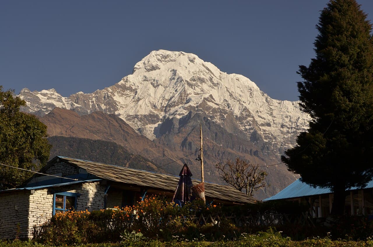
Annapurna Himal, Gandaki Province
Annapurna South
7,219 m23,684 ft28.518°N 83.806°E
At a glance
- Elevation
- 7,219 m · 23,684 ft[1]
- Prominence
- 775 m[1]
- Range
- Annapurna Himal[2]
- Region
- Gandaki Province[2]
- Coordinates
- 28.5180° N, 83.8060° E[1]
- First ascent
- 1964, Kyoto University Alpine Club[2]
Elevation is height above sea level; prominence is how far it rises above the lowest col connecting it to higher ground.
The mountain's story
Annapurna South rises to 7,219 metres and is the fifth-highest peak of the Annapurna range, and about the hundredth-highest mountain in the world. Its neighbour Hiunchuli is in fact an extension of the same massif. A six-person team from the Kyoto University Alpine Club made the first ascent in 1964.[2]
It is one of the peaks that greets trekkers at sunrise on Poon Hill, alongside Annapurna I, Dhaulagiri, Machhapuchhre and Hiunchuli.[3]
Little things worth knowing
Rivers from this mountain
Water that begins in its snow and ice, or drains the range around it.
Where it lives
Summit coordinates from Wikidata; hollow dots are viewpoints from which this peak is documented as visible.
Look closer
If you want to visit
Places from which Annapurna South is documented as visible:
- Poon Hill[3]
Permits, fees and access rules change. Check current requirements with the Nepal Tourism Board before you travel. We don't list routes or logistics we can't keep current.
Sources & further reading
5 sources
- [1]Wikidata item Q20190791, Wikidata, retrieved 2026-10-23 · accessed 2026-10-23
- [2]Annapurna South, Wikipedia · accessed 2026-10-23
- [3]Poon Hill, Wikipedia · accessed 2026-10-23
- [4]Modi River, Wikipedia · accessed 2026-10-23
- [5]Seti Gandaki River, Wikipedia · accessed 2026-10-23
Structured values (elevation, coordinates, prominence) come from Wikidata, which aggregates survey sources. Wikipedia articles are used as secondary references; we prefer primary survey and expedition records as we add them. Last verified 2026-10-23.